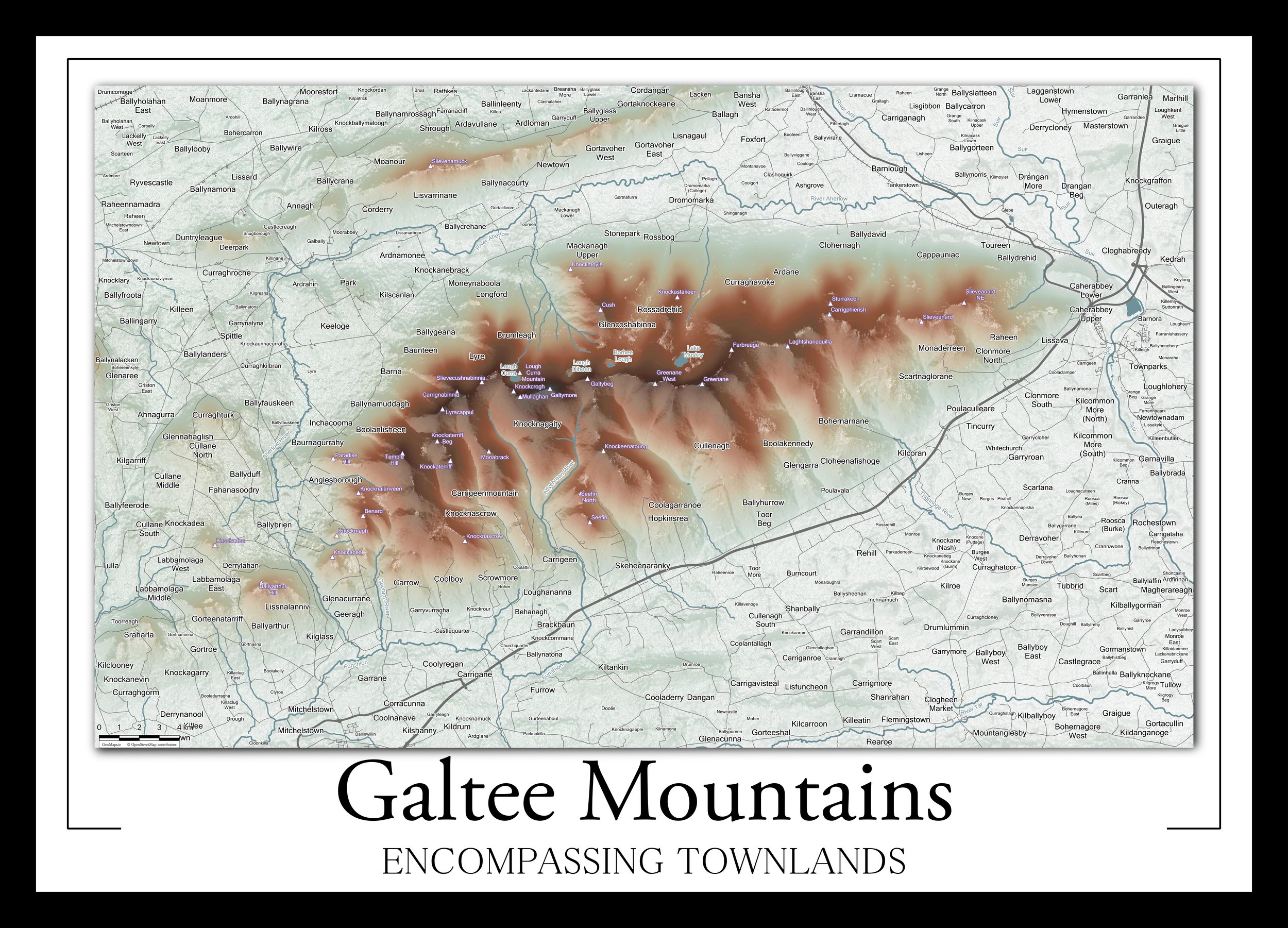
Why map Irish Townlands? Townlands are of Gaelic origin and have played a significant role in the geographical divisions of Ireland for at least 800 years. With the recent introduction of the Eircode system, townlands are no longer required on addresses when posting a letter or parcel, and many fear that we may lose not only our 61,098 townland names but also lose the sense of identity and the mini cultures associated with these land divisions. At GeoMaps, we endeavour to preserve our local townlands through our Encompassing Townlands collection.
The Encompassing Townlands collection is designed by combining Irish Townland mapping data from the excellent sources at www.townlands.ie and with OpenStreetMap data from OpenStreetMap and its contributors at www.openstreetmap.org using open-source technology.
The Encompassing Townlands collection is not only for your local cartography-loving historian! These maps also make ideal gifts for house warmings, weddings, Christmas, birthdays, retirements, anniversaries, Father’s Day, Mother’s Day, and any other occasion.
Completed Encompassing Townland Maps
See below for a map of completed Encompassing Townland maps. Click here to view all maps or use the following search bar to find your desired map.

